Content
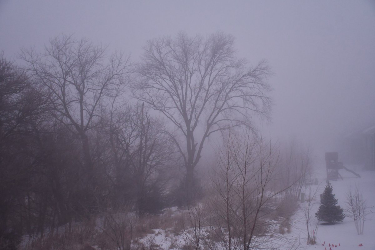
January 2, 2021. Rural Lincoln, Nebraska. Photo by Ken Dewey
Last Month's Data (December 2020)
Next Month's Data (February 2021)
Winter 2020-21 (and last 2 years) Snowfall (in inches) compared to normal.
| OCT | NOV | DEC | JAN | FEB | MAR | APR | MAY | TOTAL | |
| Normal | 0.7 | 2.1 | 5.9 | 5.4 | 5.6 | 4.8 | 1.4 | 0.0 | 25.9 |
| 2020-21 | 2.9 | T | 11.0 | 18.9 | 32.8 | ||||
| 2019-20 | 0.7 | 1.7 | 1.8 | 5.5 | 1.6 | 1.5 | 4.8 | 0.0 | 17.6 |
| 2018-19 | 3.5 | 7.2 | 5.6 | 9.7 | 23.2 | 6.3 | T | 0.0 | 55.5 |
T = a Trace. Snowfall was observed but not enough to be measured
All data in the following tables are from the National Weather Service and HPRCC data archives.
Related Links:
Lincoln's Cold Weather Climatology
Daytime below 0°F data
January 2021 was the 8th wettest on record (1887-2021, 135 years)
RECORDS:
January 25, 14.5 inches of snow, most snow ever on that date (old record 6.1 inches, set in 1991)
January 25, 1.13 inches liquid water (old record 0.48 inches, set in 1941)
LINK: Greatest one-day and two-day snowfalls
All data in the following table are from the National Weather Service and HPRCC data archive
If columns are hidden, scroll the table to the right.
| January | 2021 | Max | Min | Mean | Dep | Pcpn | Rec Pcpn | Rec Max | Rec Min | HDD | CDD | Norm Max | Norm Min | Norm Mean | Snow |
|---|---|---|---|---|---|---|---|---|---|---|---|---|---|---|---|
| Friday | January 1 | 33 | 10 | 22 | -3 | 0.00 | 0.39 | 63 | -26 | 43 | 0 | 35 | 14 | 25 | . |
| Saturday | January 2 | 35 | 9 | 22 | -3 | 0.00 | 0.34 | 72 | -22 | 43 | 0 | 35 | 14 | 25 | . |
| Sunday | January 3 | 39 | 8 | 24 | -1 | 0.00 | 1.40 | 63 | -17 | 41 | 0 | 35 | 14 | 25 | . |
| Monday | January 4 | 44 | 15 | 30 | +6 | 0.00 | 0.32 | 59 | -19 | 35 | 0 | 35 | 14 | 25 | . |
| Tuesday | January 5 | 46 | 17 | 32 | +8 | 0.03 | 0.69 | 68 | -20 | 33 | 0 | 35 | 14 | 24 | . |
| Wednesday | January 6 | 39 | 33 | 36 | +12 | T | 0.40 | 60 | -25 | 29 | 0 | 35 | 14 | 24 | . |
| Thursday | January 7 | 36 | 22 | 29 | +5 | 0.01 | 0.60 | 65 | -20 | 36 | 0 | 35 | 14 | 24 | T |
| Friday | January 8 | 35 | 19 | 27 | +3 | 0.00 | 0.34 | 70 | -20 | 38 | 0 | 35 | 14 | 24 | . |
| Saturday | January 9 | 32 | 23 | 28 | +4 | 0.00 | 0.37 | 62 | -21 | 37 | 0 | 35 | 14 | 24 | . |
| Sunday | January 10 | 37 | 24 | 31 | +7 | 0.00 | 0.76 | 73 | -18 | 34 | 0 | 35 | 14 | 24 | . |
| Monday | January 11 | 49 | 24 | 37 | +13 | 0.00 | 0.31 | 65 | -29 | 28 | 0 | 35 | 14 | 24 | . |
| Tuesday | January 12 | 54 | 21 | 38 | +14 | 0.00 | 0.74 | 64 | -33 | 27 | 0 | 35 | 14 | 24 | . |
| Wednesday | January 13 | 55 | 28 | 42 | +18 | 0.00 | 0.30 | 70 | -21 | 23 | 0 | 35 | 14 | 24 | . |
| Thursday | January 14 | 48 | 35 | 42 | +18 | T | 0.91 | 60 | -18 | 23 | 0 | 35 | 14 | 24 | . |
| Friday | January 15 | 35 | 30 | 33 | +9 | 0.14 | 0.83 | 69 | -27 | 32 | 0 | 35 | 14 | 24 | 2.0 |
| Saturday | January 16 | 36 | 20 | 28 | +4 | 0.00 | 0.60 | 66 | -19 | 37 | 0 | 35 | 14 | 24 | . |
| Sunday | January 17 | 45 | 24 | 35 | +11 | 0.00 | 0.60 | 64 | -16 | 30 | 0 | 35 | 14 | 24 | . |
| Monday | January 18 | 40 | 25 | 33 | +9 | T | 0.45 | 66 | -21 | 32 | 0 | 35 | 14 | 24 | T |
| Tuesday | January 19 | 44 | 19 | 32 | +7 | 0.00 | 0.78 | 66 | -29 | 33 | 0 | 35 | 14 | 25 | . |
| Wednesday | January 20 | 54 | 19 | 37 | +12 | 0.00 | 0.47 | 68 | -18 | 28 | 0 | 35 | 14 | 25 | . |
| Thursday | January 21 | 51 | 18 | 35 | +11 | 0.00 | 0.55 | 64 | -17 | 30 | 0 | 36 | 14 | 25 | . |
| Friday | January 22 | 27 | 14 | 21 | -4 | T | 0.64 | 60 | -14 | 44 | 0 | 36 | 14 | 25 | T |
| Saturday | January 23 | 31 | 15 | 23 | -2 | 0.13 | 0.45 | 68 | -20 | 42 | 0 | 36 | 14 | 25 | 1.5 |
| Sunday | January 24 | 30 | 25 | 28 | +3 | 0.00 | 0.46 | 72 | -19 | 37 | 0 | 36 | 14 | 25 | . |
| Monday | January 25 | 27 | 18 | 23 | -2 | 1.13 | 1.13 | 69 | -21 | 42 | 0 | 36 | 14 | 25 | 14.5 |
| Tuesday | January 26 | 21 | 14 | 18 | -7 | 0.02 | 0.81 | 68 | -17 | 47 | 0 | 36 | 14 | 25 | 0.3 |
| Wednesday | January 27 | 22 | 8 | 15 | -10 | 0.07 | 0.80 | 68 | -23 | 50 | 0 | 36 | 14 | 25 | 0.6 |
| Thursday | January 28 | 28 | 15 | 22 | -3 | 0.00 | 0.90 | 64 | -22 | 43 | 0 | 36 | 14 | 25 | . |
| Friday | January 29 | 38 | 8 | 23 | -2 | 0.00 | 0.52 | 66 | -18 | 42 | 0 | 36 | 14 | 25 | . |
| Saturday | January 30 | 39 | 28 | 34 | +9 | 0.00 | 0.34 | 70 | -16 | 31 | 0 | 36 | 14 | 25 | . |
| Sunday | January 31 | 31 | 17 | 24 | -1 | T | 0.82 | 72 | -20 | 41 | 0 | 36 | 14 | 25 | . |
| January | 2021 | Max | Min | Mean | Dep | Pcpn | Rec Pcpn | Rec Max | Rec Min | HDD | CDD | Avg Max | Avg Min | Avg Mean | Snow |
| . | Total | 1.53 | 1111 | 0 | 18.9 | ||||||||||
| . | Average | 38.1 | 19.5 | 28.8 | |||||||||||
| Normal | 35.4 | 13.8 | 24.6 | 0.64 | 1252 | 0 | 5.4 | ||||||||
| . | Departure | +2.7 | +5.7 | +4.2 | +0.89 | -141 | +13.5 |
AVERAGE AND TOTAL are JANUARY 2021.
Temperature is °F
Precipitation measurement is "inches"
Precipitation "T" = trace, precipitation was observed but not enough to be measured
NORMAL refers to the 1981-2010 Standard Normals.
DEPARTURE is JANUARY 2021. Average measured against 1981-2010 normals.
Max = Observed Maximum and Min = Observed Minimum temperatures in °F.
Mean = Observed Mean Daily temperature in °F.
Dep = Departure from normal ( __ = below normal, + above normal), in °F.
Pcpn = Observed daily precipitation (midnight to midnight, CST) in inches.
Rec Pcpn = Record daily amount of precipitation in inches.
Rec Max = Record maximum temperature in °F.
Rec Min = Record Minimum temperature in °F.
HDD = heating degree day units (base of 65 degrees) in °F.
CDD = cooling degree day units (base of 65 degrees) in °F.
Norm Max = Daily Normal High Temperature (1981-2010 normals) in °F.
Norm Min = Daily Normal Low Temperature (1981-2010 normals) in °F.
Norm Mean = Daily Normal Mean Temperature (1981-2010 normals) in °F.
Snow = Snowfall in inches.
FROM THE RECORD BOOKS:
Warmest recorded JANUARY temperature, 73°F, January 10, 1990
Coldest recorded JANUARY temperature, -33°F, January 12, 1974
SNOWFALL: 122 years (1900-2021)
Most JANUARY Snowfall: 23.0 inches, 1915.
Least January Snowfall (1900-2021): Trace (flurries and not measurable), 3 of the last 122 years (1900, 1986, 2007)
NOTE: All data on this page are from the National Weather Service and the HPRCC data archives.